Necessary cookies are absolutely essential for the website to function properly. These cookies ensure basic functionalities and security features of the website, anonymously.

Geospatial Data: An In-Depth Guide
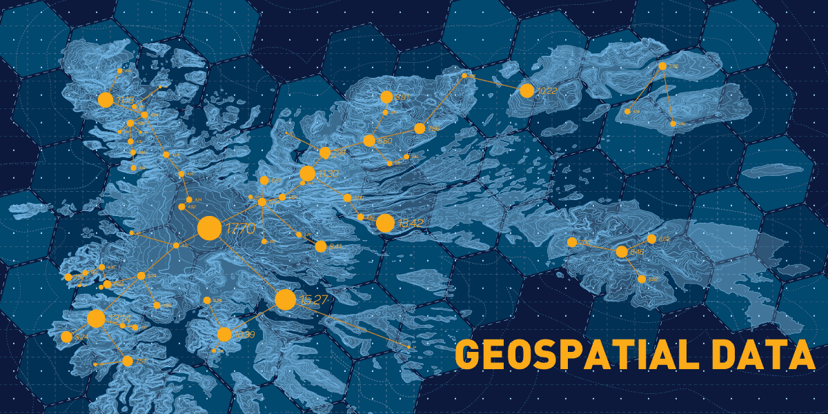
In our digital world, information is abundant. Among the various types of data, geospatial data offers a distinct perspective by highlighting spatial relationships and characteristics of our planet. It's not just about pinpointing locations; it integrates multiple data types to deliver comprehensive insights.
Defining Geospatial Data
Geospatial data, at its core, gives information related to objects, occurrences or features associated with specific geographical coordinates on Earth. This includes longitudinal and latitudinal details, attribute data that sheds light on the object or event in question, and temporal data, highlighting at what time the event happened. Common sources include satellite imagery, global positioning system (GPS) traces and geo-tagged social media content. When fused with conventional business data, geospatial insights can bring significant strategic advantages.
Diverse Forms of Geospatial Data and Their Acquisition
-
Vector Data: This is a digital representation of the Earth's features using geometric forms. For instance, individual buildings might be represented as points. Roads and rivers might take the form of lines, while larger areas like lakes or city boundaries might be depicted as polygons
-
Raster Data: Essentially grid-based data consists of pixels or cells. Each will have a specific value, often forming images like satellite photographs or digital elevation models
Data Collection
With exponentially increasing amounts of data each year, capturing vast amounts of geospatial information requires advanced tools and techniques. Precision is key; hence many organisations opt for dedicated geospatial data services to ensure accuracy. Incorrect data can skew interpretations and lead to flawed strategic decisions.
Technological Tools for Geospatial Data Management
Geospatial technologies, such as geographic information systems (GIS), play a pivotal role in organising, analysing and visualising spatial data. The Python programming language, equipped with specialised libraries like GeoPandas and Shapely, is particularly suited for geospatial operations. However, the sheer volume and complexity of today's geospatial data present challenges in terms of storage, retrieval and preprocessing.
Application of Geospatial Data
-
Predictive Analysis: Geospatial anomalies can forecast upcoming transitions, equipping businesses to anticipate change
-
Informed Decision Making: It helps in evaluating the effectiveness of analytical strategies
-
Operational Excellence: Leveraging geospatial insights can enhance workflow efficiency
-
Data Utilisation: While geospatial data was initially seen mainly in environmental science, it is now used in sectors from utilities to retail. The rapidly growing Internet of Things (IoT), which interconnects everyday devices, pushes the demand for geospatial insights. Visual representation, such as heatmaps and choropleths, helps visualise underlying patterns and trends
Economic Dynamics of Geospatial Data
Forecasts suggest that by 2025, the geospatial analytics market could reach USD 96.3 billion. Its versatility is evident in its wide-ranging uses:
-
Governments harness it for emergency management and public health initiatives
-
Utility firms use it to preempt service disruptions and strategise maintenance
-
Insurance entities refine their risk assessment models
-
Agri-financiers employ it to optimise credit risk evaluations
Conclusion
Geospatial data tells us the ‘where’, ‘when’ and ‘what’ of events, helping us better understand the world. Its importance will keep growing, affecting many areas like businesses, government decisions and our daily lives in the future.


